Newly updated! Includes the drivable, renamed 14er Mt. Blue Sky (formerly Mt. Evans)
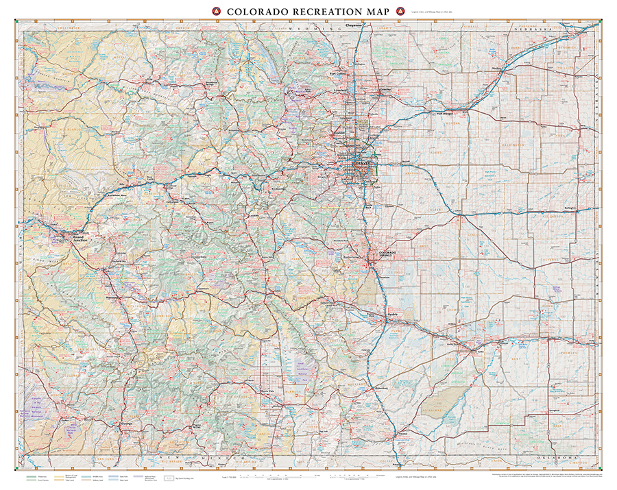
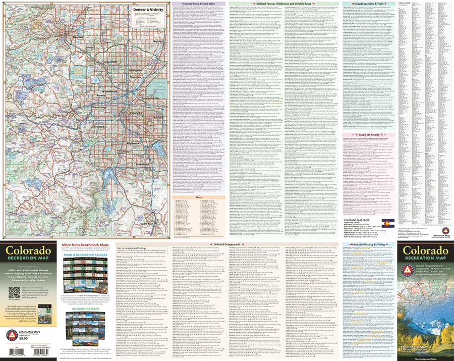
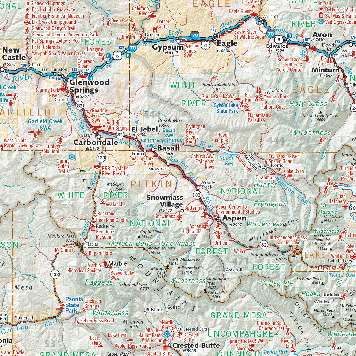
The Colorado Recreation Map is a folded map version of the Recreation Guide pages within our Colorado Road & Recreation Atlas. One side provides a full state map that features Public Lands, extensive highway detail, point-to-point mileages, recreation attractions, campgrounds, parks and wildlife areas, fishing access points, and hunting units (GMU). The reverse side includes a Denver vicinity map and categorized recreation listings with helpful descriptions, current contact information, and map grid references.
ISBN: 9780783499659
Cover: 4.25″ x 9″ Sheet: 34″ x 26.5″
Map scale 1:750,000


