Print-on-Demand by ![]()
Recreation Atlases & Maps of The American West and Beyond
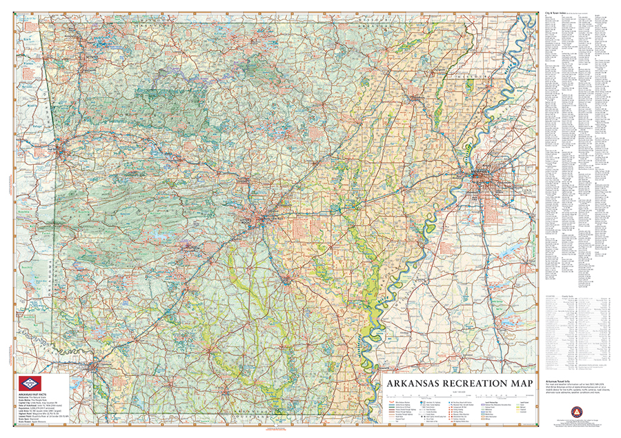
Arkansas Recreation Wall Map
MapSherpa is our trusted partner for print-on-demand (POD) and fulfillment of our wall maps. They connect a global network of map publishers and retail partners to make our wall maps available around the world. We direct you Amazon as the primary retail venue for the U.S., Canada, and U.K.
 From the Ozark & Ouachita Mountains to the densely forested Timberlands to the Delta Lowlands, Arkansas contains a wealth diverse terrain, wildlife, and public recreation opportunities. This 40″ x 28″ map illustrates Arkansas’s vast network of highways and byways, recreation attractions, state parks and wildlife areas, fishing access, hunting units, and more.
*Available as a digital download in the Avenza Maps app for iOS & Android devices: Arkansas Recreation Map


