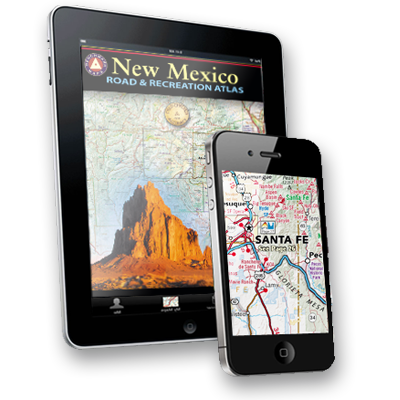
New Mexico Atlas and Atlas App Release
Santa Barbara, CA May 15, 2012 – To celebrate New Mexico’s centennial year, Benchmark Maps has released a trio of new map products for the Land of Enchantment. Their atlas, folded map, and mobile app offerings for the outdoor enthusiast mark a truly unique achievement in mapping quality and diversity. This comprehensive trio of recreation mapping tools gives New Mexico a level of attention that no state in the American West has yet enjoyed.
____________________________________________________________________________________________________________
.
Benchmark Maps Working to Raise the Bar on Road, Recreation Digital Atlasas
It’s safe to say that digital maps are popular navigational tools, but rather than logging onto Google Maps, John Glanville opted to pursue an opportunity.
“The quality of the cartographic information, how it’s organized and the geographical look and feel of Benchmark Maps differentiates itself from a Google product,” he said.
Glanville, a Santa Barbara venture capitalist, bought the company about a year ago. Benchmark Maps produces road and recreation atlases that feature roads classed by type and surface, landmarks, topography and public land ownership information.


