Winner of the ICA-IMIA Recognition of Excellence in Cartography at the 2022 Esri User Conference and Map Gallery. This prestigious award is jointly sponsored by the International Cartographic Association and the International Map Industry Association.
View the map in the Esri Map Gallery HERE. This map also won an award for Excellence by Esri’s Cartography Special Interest Group.
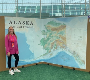
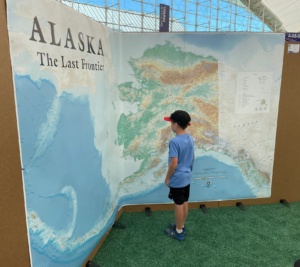
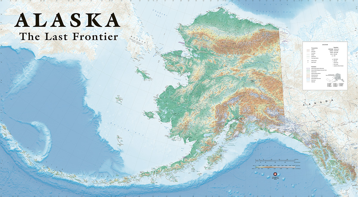
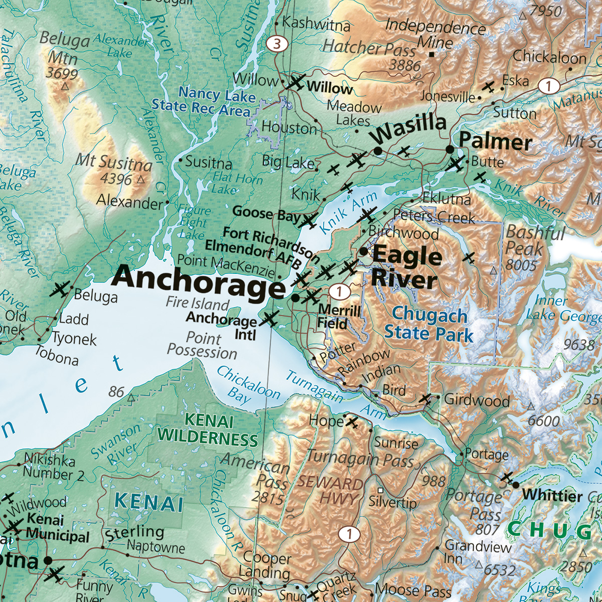
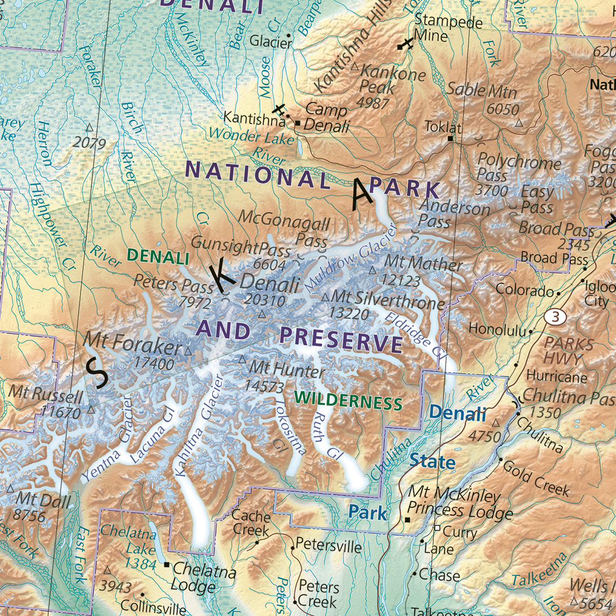
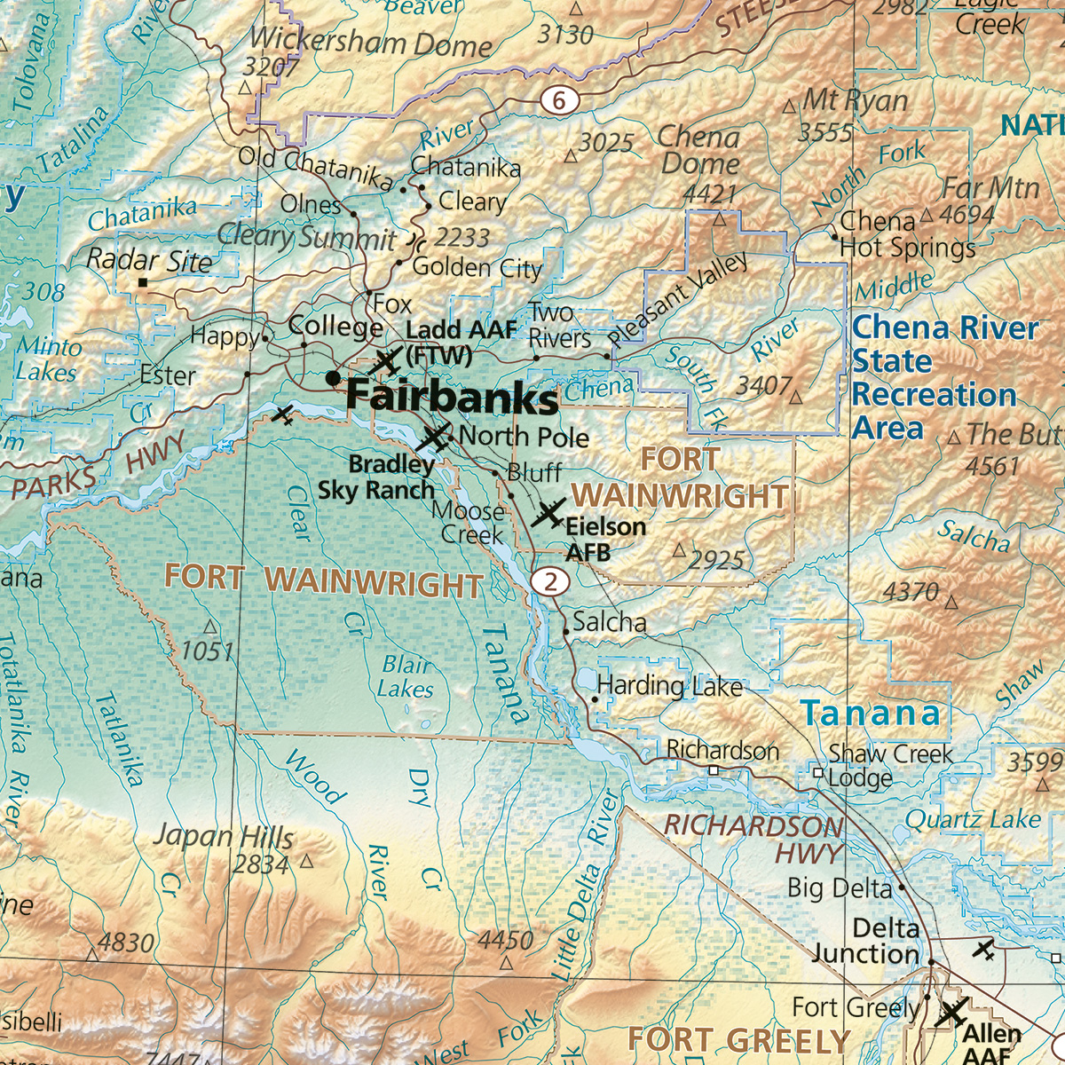
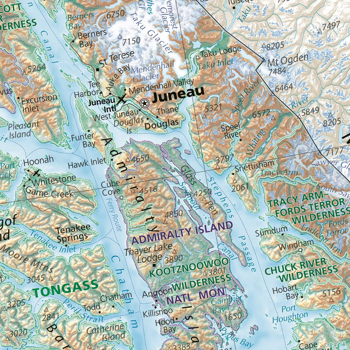
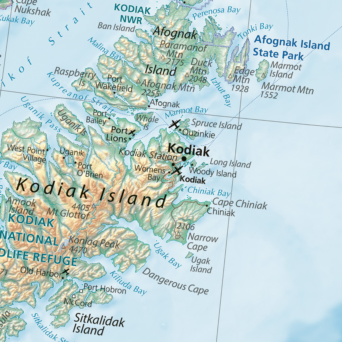
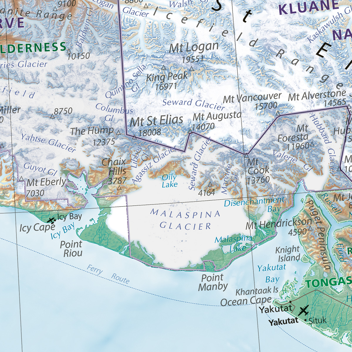
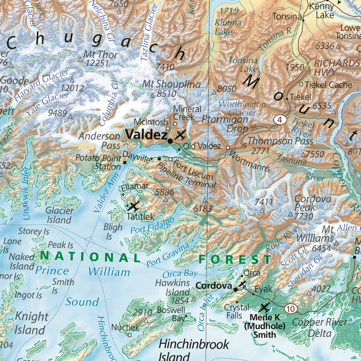
Measuring a colossal 9 ft wide x 5 ft tall (108″ x 60″), this oversized wall map beautifully illustrates the diverse coastlines and rugged interior of Alaska, The Last Frontier. The map’s vibrant colors and striking layout offer a comprehensive overview that is visible at a distance thanks to the print’s large dimensions. A closer look reveals the map’s finer details taken from our field-checked Alaska Road & Recreation Atlas. Hypsometric (elevation) tinting is employed to highlight the broad elevation range of the state and to better identify the ranges. Also included are the airports (both civilian and military), major rivers, highways, ferries, physical features, and public lands. All labels were carefully researched and hand-placed.
Quotes for larger size prints, up to 174″ x 96″ are available upon request.

