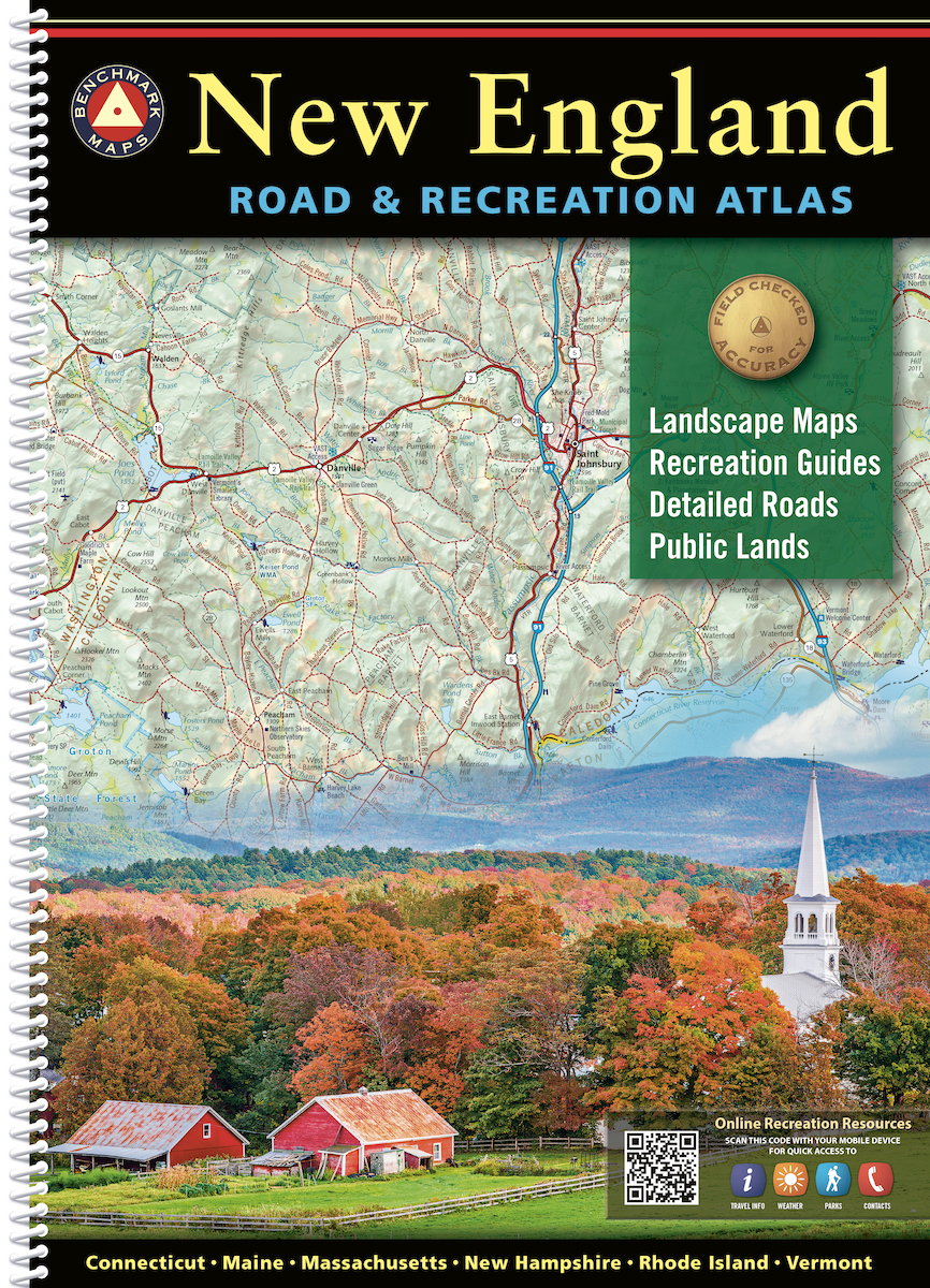
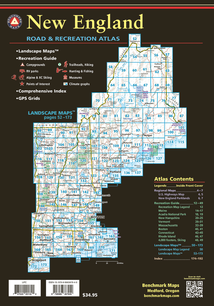

The 1st edition New England Road & Recreation Atlas covers Maine, New Hampshire, Vermont, Massachusetts, Connecticut, and Rhode Island. Extensively researched and field-checked, this atlas brings Benchmark’s trusted brand of cartography to the northeast, showcasing the region’s endless recreation opportunities and spectacular landscapes, from Long Island Sound to the North Maine Woods. With a 38-page Recreation Guide filled with helpful trip-planning resources, and 122 pages of Landscape Maps™ rich with detailed roads, terrain, and points of interest, this atlas is the ideal planning and navigation tool — whether you’re looking for a quick weekend getaway or an extended adventure. Benchmark’s award-winning team of field-checkers, cartographers, and editors have been hard at work to make the New England Road & Recreation Atlas the most accurate, comprehensive, and reliable map product ever published for this region.
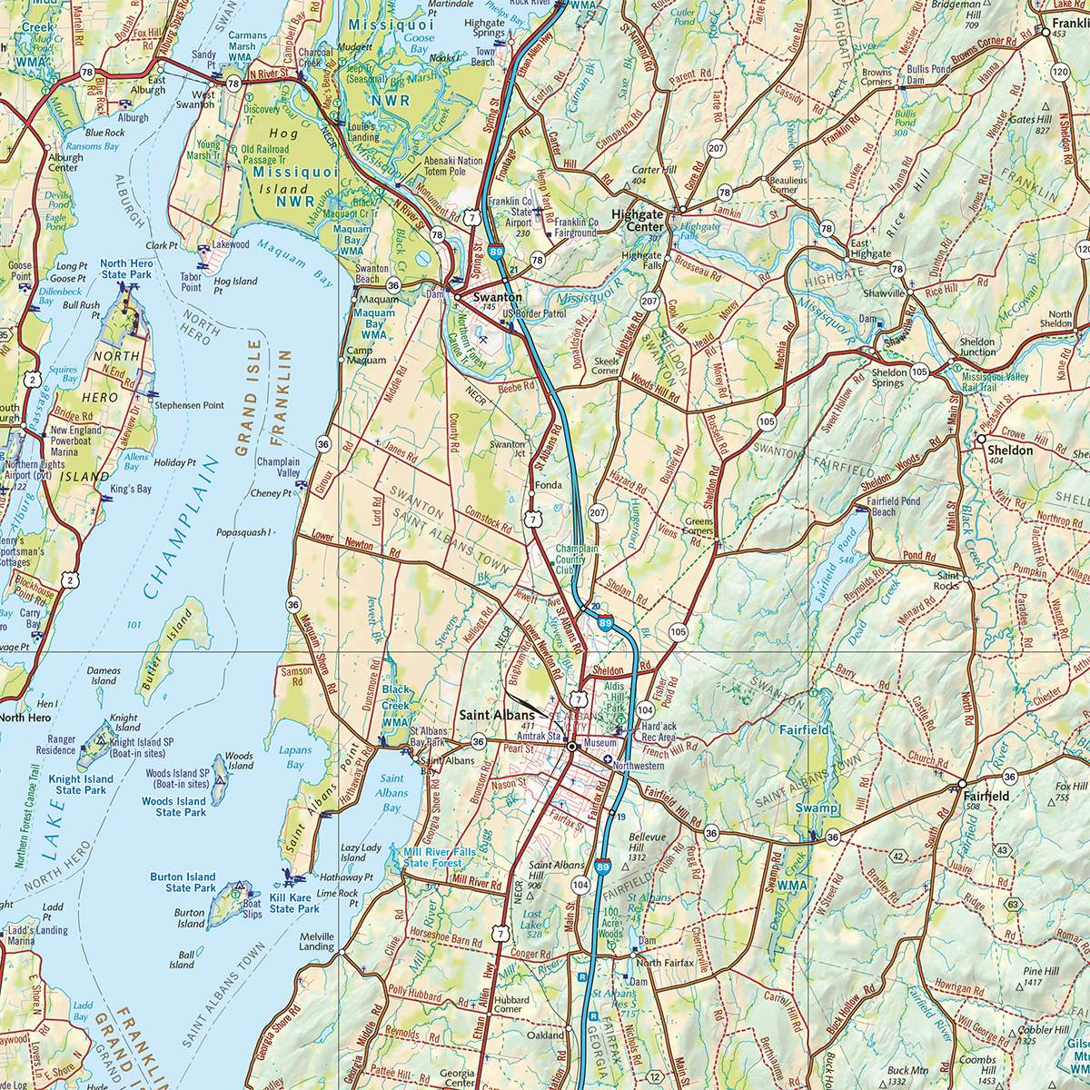
Landscape Maps
- Detailed shaded relief, tinted to illustrate land use & vegetation
- Public land boundaries
- Detailed roads and recreation points of interest
- Ferry routes, long-distance trails, and more
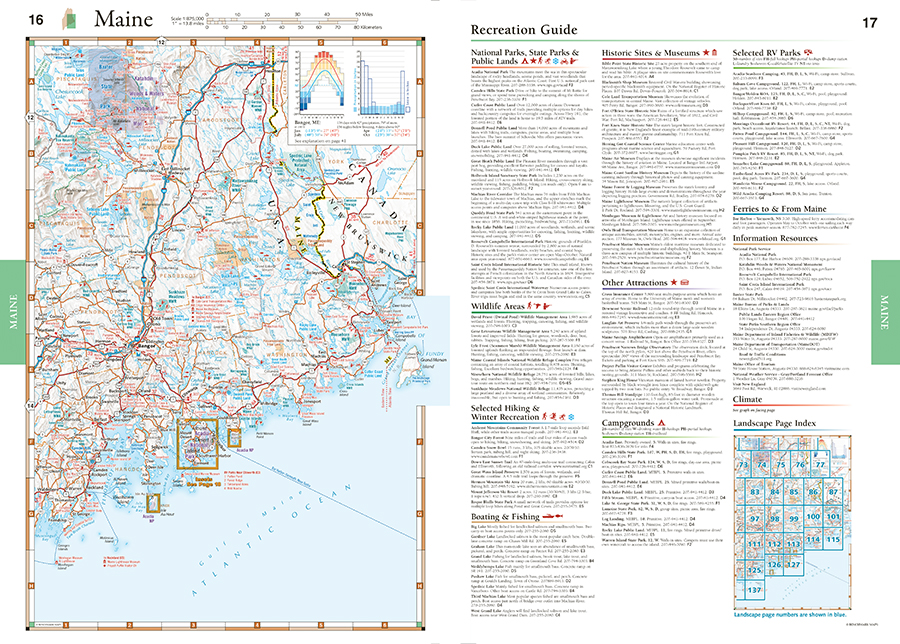
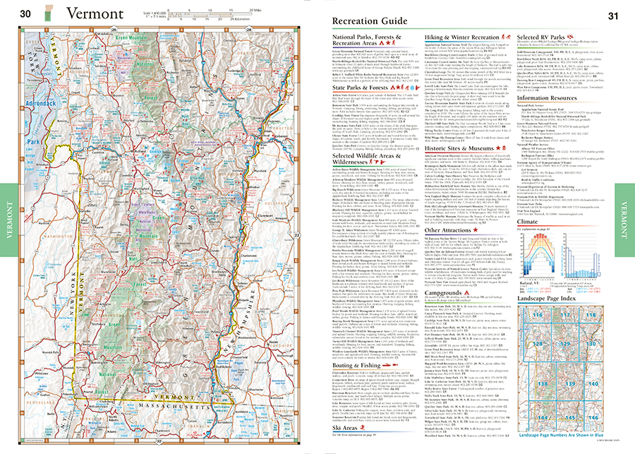
Recreation Guides
- Regional maps with public lands, points of interest, and point-to-point distances
- Categorized listings include National & State Parks, Trails, Campgrounds & RV Parks, Fishing & Boating, Museums & Historic Sites, and more
- Dedicated pages for 4,000 footers, long-distance trails, and skiing
- Guides focused on Acadia National Park and downtown Boston
Dimensions: 11″ x 15″ x 1″. 192 pages. 1st Edition, 2025. Spiral-bound; ISBN 9798986387949
Watch the video below for an introduction to the 1st edition New England Road & Recreation Atlas!
Benchmark Maps can be found at fine retailers including:
![]()
![]()
![]()
![]()
![]()
![]()


