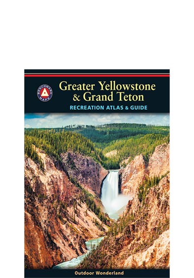
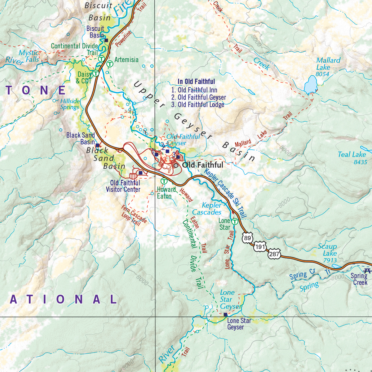
Yellowstone is our first national park and combined with Grand Teton National Park, the region is unrivaled in geologic wonder, dramatic landscapes, and unique wildlife. Benchmark Maps partnered with the University of Oregon’s Department of Geography’s InfoGraphics Lab to develop a new recreation atlas that complements their successful academic title Atlas of Yellowstone. The result was this specialty recreation atlas and guide for Greater Yellowstone and Grand Teton. We hope you enjoy the features of this atlas of these national parks, the cornerstones of western park lands.
Dimensions: 8.5″ x 11″. 80 pages. 1st Edition, 2014. ISBN 9780929591308
Map Scales:
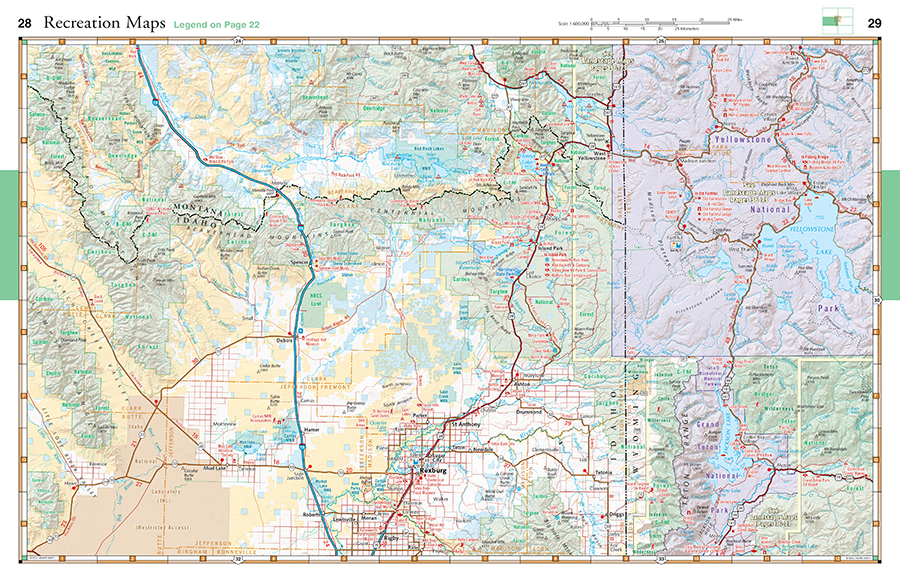
- Recreation Maps 1:600,000 1″ =9.5 miles.
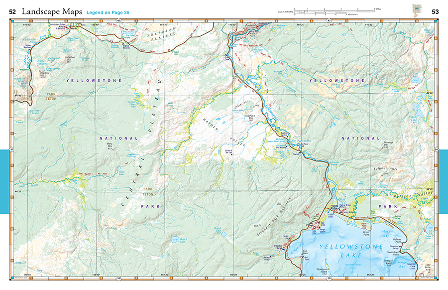
- Landscape Maps™ 1:100,000 1″ =1.6 miles.
Product Features Include:
- A map and guide to National Parks & Monuments in the western United States
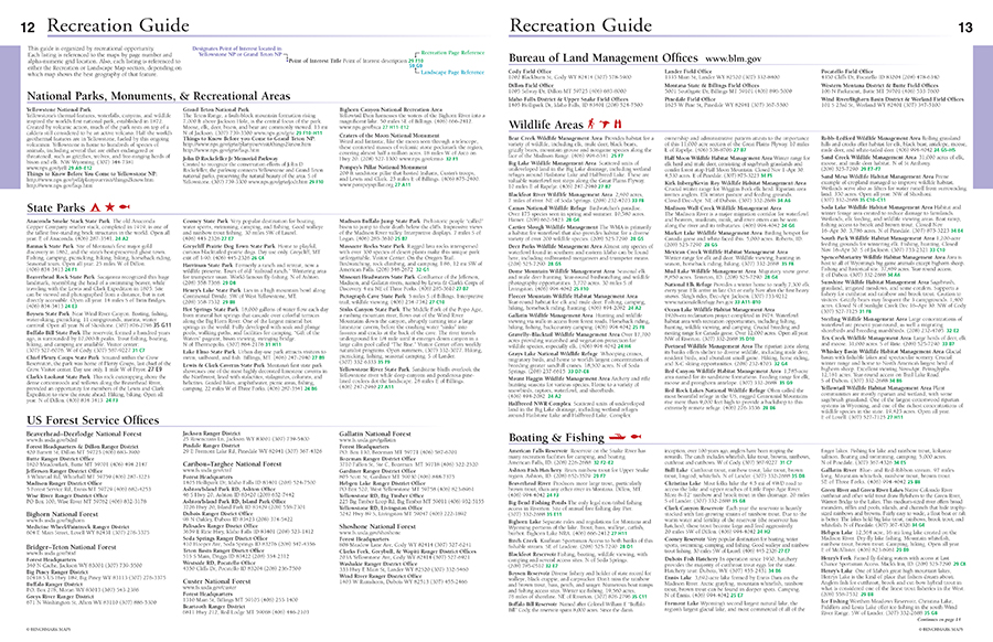
- 12-page Recreation Guide with detailed listings of regional and park resources, campgrounds, RV parks, natural wonders, museums, trails, fishing access points, boat ramps, ski areas, and rest areas
- Recreation Maps with public lands detail for the three-state region, with road mileages
- Landscape Maps with geographic detail from Atlas of Yellowstone and recreation detail from Benchmark’s series of field-checked Road & Recreation Atlases for the 11 Western States.
Benchmark Maps can be found at fine retailers including:


![]()

![]()
