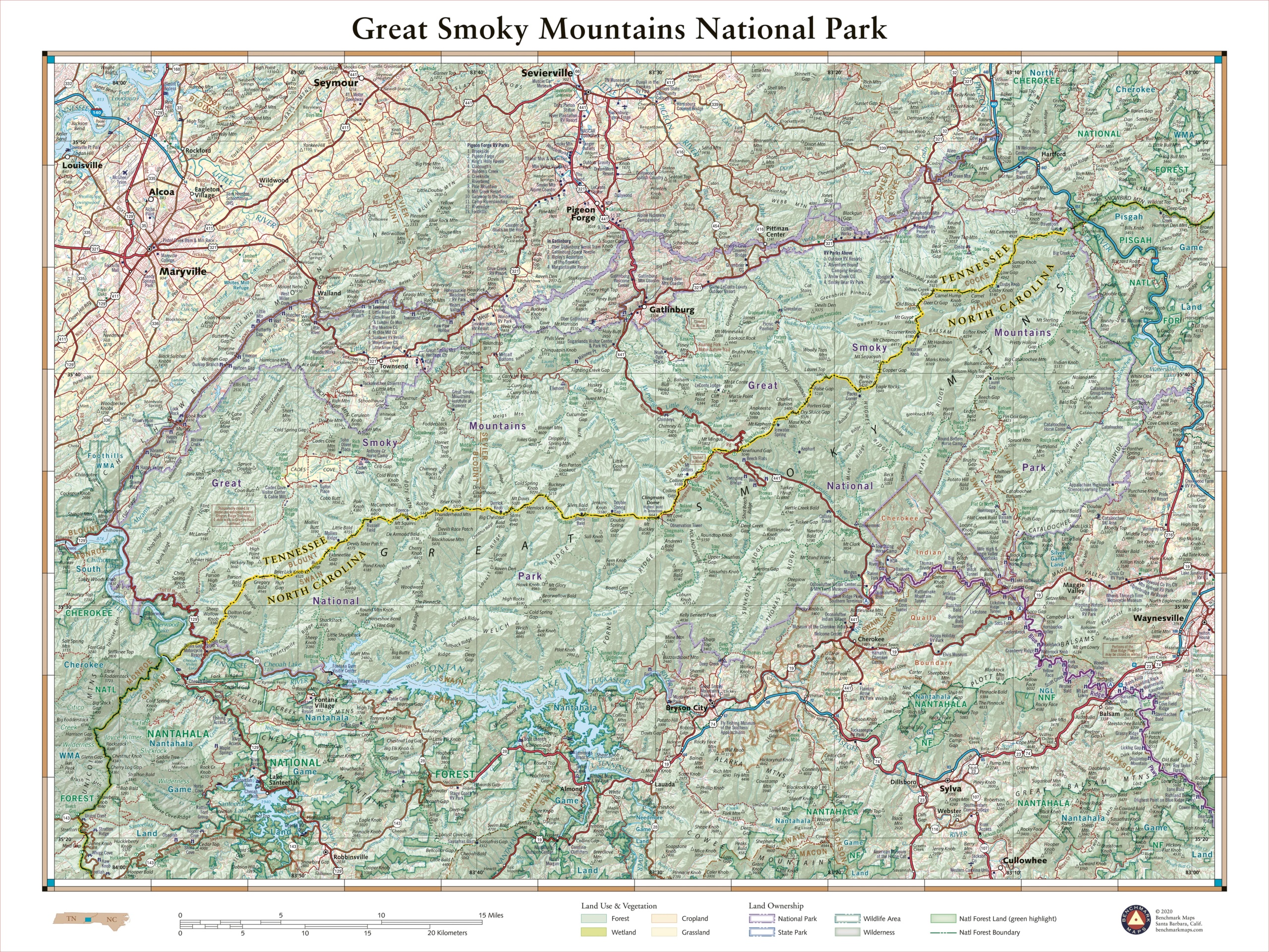
The rugged mountains that straddle the Tennessee – North Carolina border are home to a staggering array of biodiversity and a wealth of historic structures. The Smokies include some of the loftiest peaks in the eastern US and comprise the highest elevations found along the Appalachian Trail. More than 800 miles of trail wind through the Smokies’ forests, ridges, and coves, offering mountain solitude in the country’s most-visited national park. This 40″ x 30″ wall map details the terrain and recreation features inside Great Smoky Mountains National Park and highlights its surrounding communities.
Each wall map is individually printed on high quality semi-matte photo paper, then rolled and shipped in a tube from our cartography hub in Medford, Oregon.


